I was asked for some facts and figures about the Ōwhanga Christchurch South Ward and thought it might make for an interesting blog post.
Geography

The Ōwhanga ward includes 4 city council wards - Banks Peninsula, Spreydon, Cashmere and Heathcote - more or less. The City council wards shifted a bit as part of a representation review in this last council term, so now, the boundaries of the Environment Canterbury wards don't quite match the boundaries of the City Council wards. You can check the details here by clicking on Find your voting area.
Ōwhanga has a few fewer people than the other three wards. According to some back of the envelope calculations that I did, the Christchurch South ward contained around 83,950 people at last census, living in 31,415 households.

Landforms
There are two extinct volcanoes which match up with two large harbours - Akaroa and Lyttleton Whakaraupo. There are also numerous sheltered bays and inlets.
Kaitorete
Spit is also part of this ward. It is a 25km long spit of gravel
between the Pacific Ocean and Te Waihora Lake Ellesmere. It was formed
quite recently (in geological terms) by currents and wave action
bringing gravel from the Rakaia and Rangitata Rivers northwards. The
Waimakariri River also ran out to sea at this point within the last few
hundred years. It could do so again if the floodbanks protecting Christchurch, ever fail.
Tangata whenua
Four Marae: Rāpaki, situated in Whakaraupo Lyttelton Harbour, Wairewa situated in Little River, Ōnuku, situated in Akaroa Harbour and Koukourarata situated in Port Levy. A fifth marae at Taumutu sits just outside the boundary of the Ōwhanga ward not far from the outlet of Te Waihora Lake Ellesmere.
Community groups
According to their website, there are 14 organisations working together for Pest Free Banks Peninsula, and, according to the Trapnz website where people record what they catch, there are 125 Pest trapping projects on the Port Hills and Peninsula.
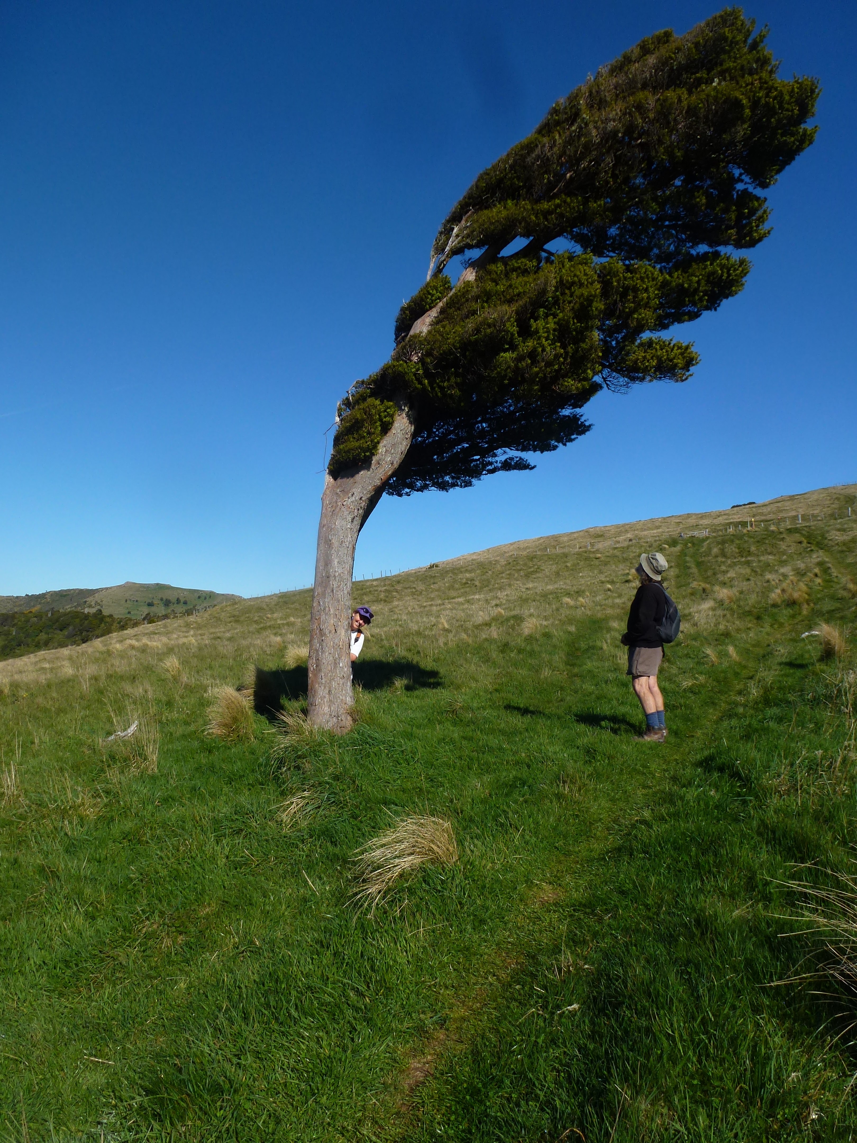
Recreation
In this ward, also there are many, many parks and reserves both in the city and across the Peninsula. You can walk, cycle and mountain bike in many places along the Ōpāwaho Heathcote River, across the Port Hills and around the Peninsula. Wonderful swimming beaches, abound and if all this isn't your thing then there are also great coffee shops, some great art and craft.
No comments:
Post a Comment